7 stops
- Motorbike
Is this route for you?
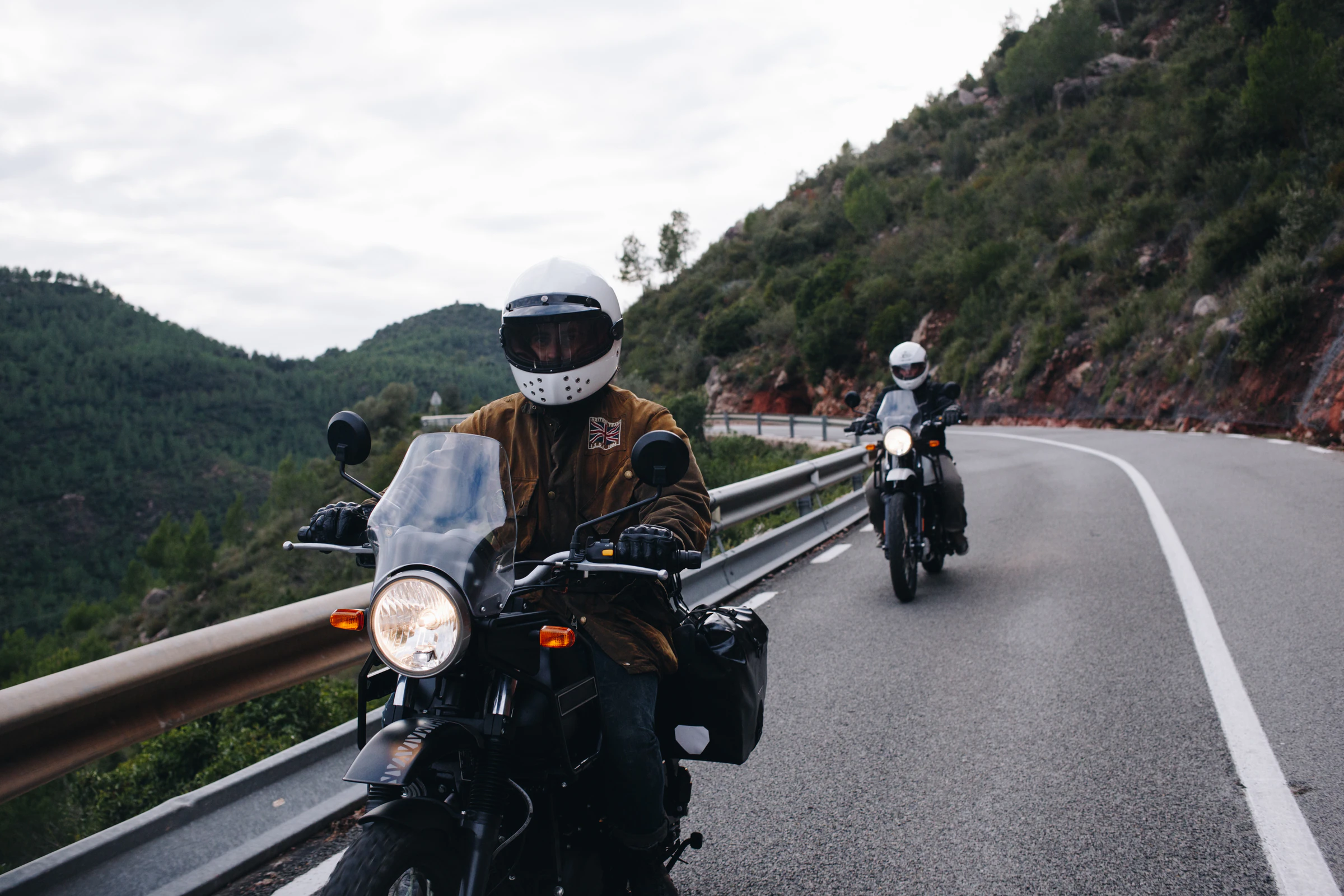
The appeal here is the riding itself, not the towns along the way. Mountain switchbacks, jungle air and small towns strung along Route 1095 and Route 108 are the point of the Mae Hong Son Loop, so it's a route for riders rather than something to do by minivan for its own sake. If you hold a motorcycle licence and an International Driving Permit with the motorcycle category, you can self-drive it. If you don't, or you'd rather not ride 600 km of mountain road alone, riding pillion behind a licensed local rider covers the same ground.
It suits confident riders who've handled mountain roads before, and travellers who want to see Mae Hong Son province's quieter side beyond Pai. It's less suited to complete beginners on two wheels (Route 1095's curve count is unforgiving for a first time on a bike), to anyone travelling in the February to April burning season, or to riders without the right paperwork who don't want a pillion or van option. If a there-and-back to Pai is enough for you, our northern Thailand itinerary covers that shorter version alongside Chiang Rai, and our Pai guide covers the town itself in more depth.
Day by day
Get ready and rent
Chiang Mai
- Morning
- pick up a rental motorbike (if self-driving) or confirm your pillion arrangement, and check your motorcycle licence and IDP are in order before you leave Chiang Mai.
- Afternoon
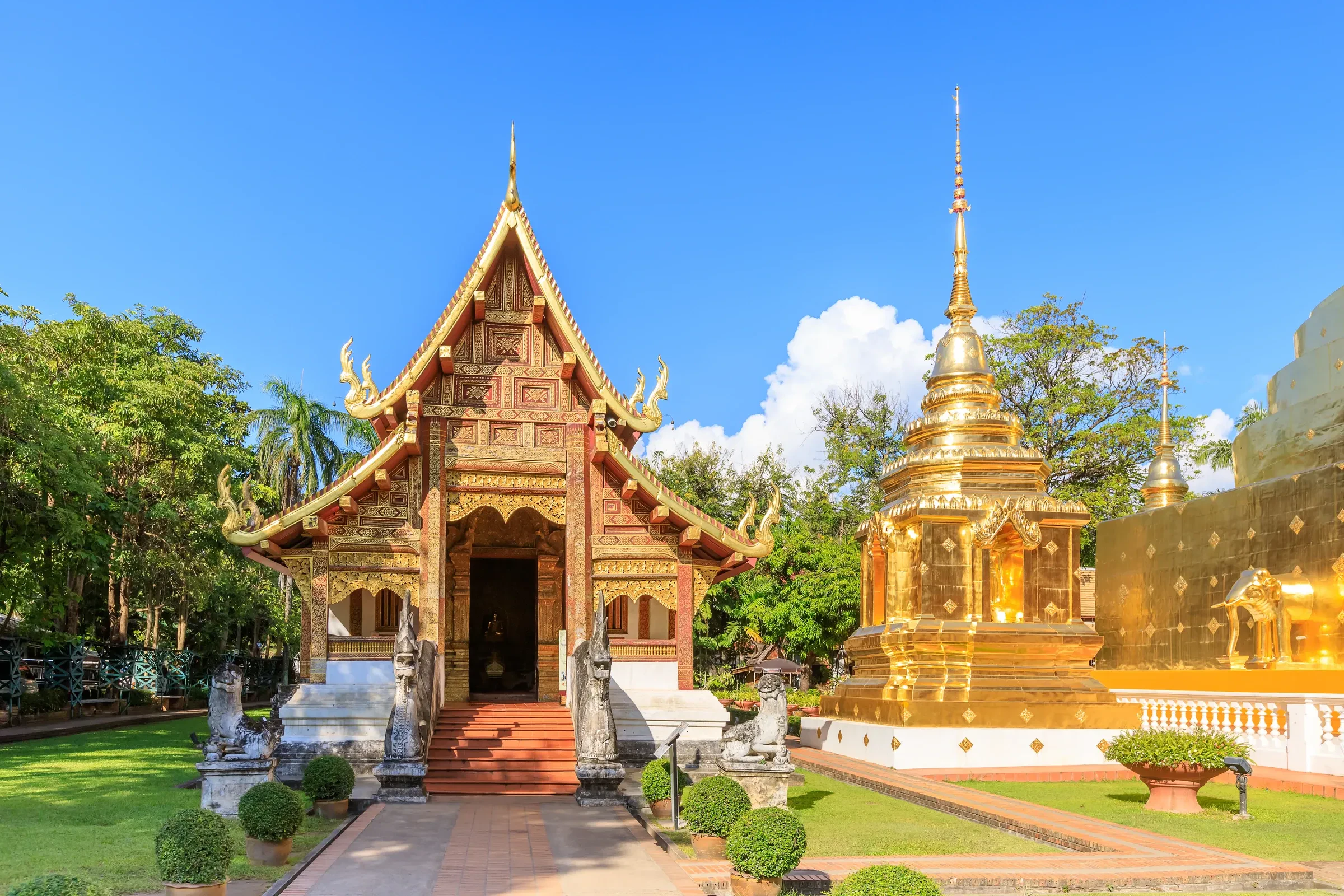
- a last look at the Old City temples, Wat Phra Singh and Wat Chedi Luang, and a gear check: helmet, wet-weather layer, phone mount.
- Evening
- an early dinner and an early night before the first riding day.
Eat khao soi, the northern coconut-curry noodle soup, at one of the Old City's long-running stalls
Local tip rent from a shop that gives you a helmet as standard, not an optional extra. Thai law requires one.
With more time if you're short a day overall, start riding straight to Pai this morning instead and skip this as a separate day.
The 762-curve road
Pai
Getting there Chiang Mai to Pai by motorbike or pillion, about 3 hours for 135 km of near-constant switchbacks on Route 1095
- Morning
- ride at a steady pace and take the bends slowly. Pack motion-sickness tablets if you're prone even as the rider, since the road itself does that to some people.
- Afternoon
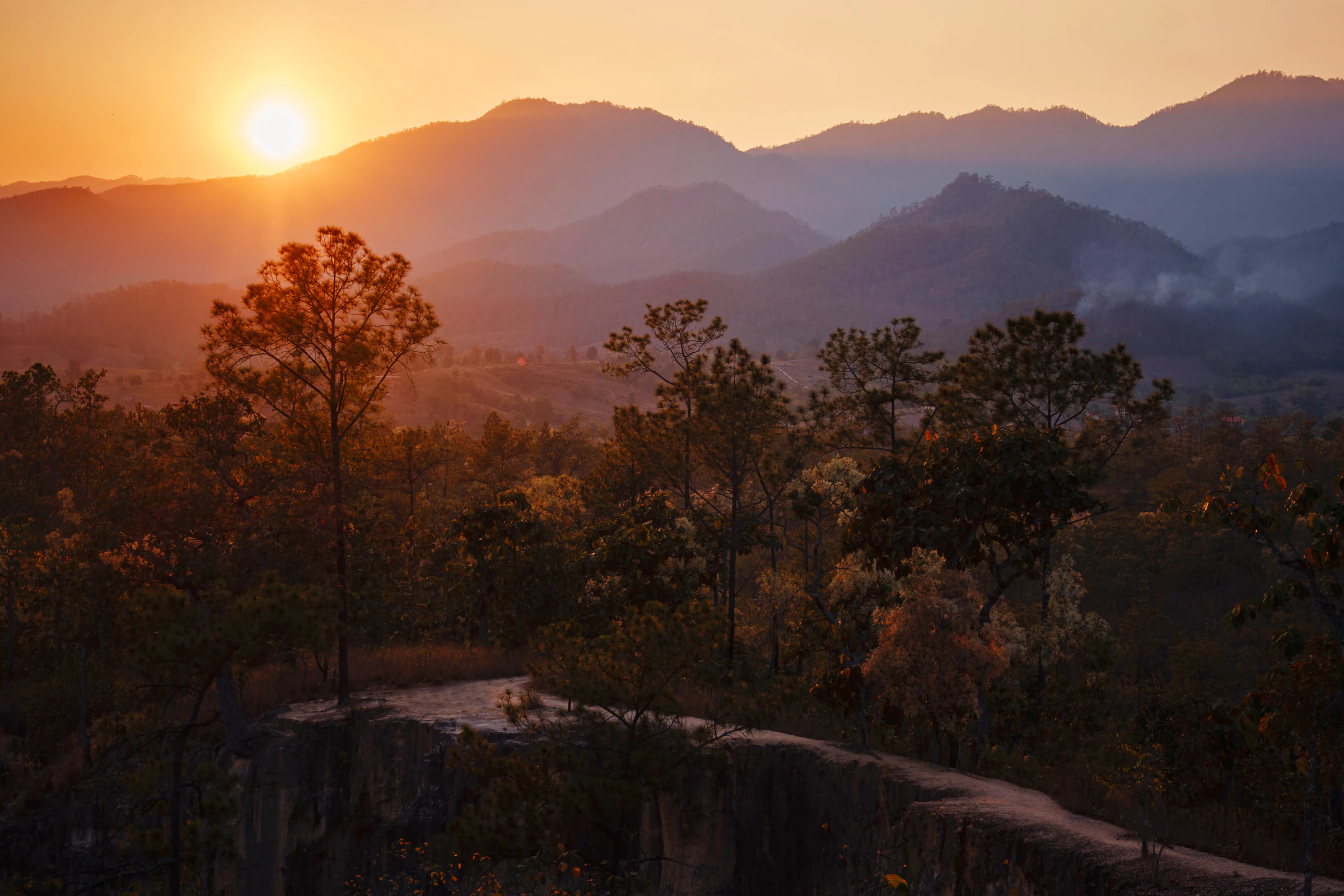
- Pai Canyon for the ridgeline paths, or a soak at the Tha Pai hot springs.
- Evening
- Pai Walking Street night market for food stalls and a slower pace after the ride.
Eat a northern-style khao soi stall on Walking Street, and a strawberry shake, a local speciality from the surrounding hill farms
Local tip fill up on fuel before leaving Pai. Stations thin out fast once you're on the road to Mae Hong Son.
The loop's highest curve count
Mae Hong Son
Getting there Pai to Mae Hong Son by motorbike or pillion, about 3 to 4 hours for 110 km; this stretch alone carries most of the loop's 1,864 curves
- Morning
- ride early to get the light and cooler air on the mountain sections, and stop often. This is the loop's most demanding riding day.
- Afternoon
- Tham Lod cave, reached with a licensed local guide and a bamboo raft through part of the cave system.
- Evening
- settle into Mae Hong Son town, a much smaller and quieter base than Pai.
Eat a Shan-influenced noodle dish, a legacy of Mae Hong Son's ethnic Shan community near the Myanmar border
Local tip this is the day to double-check tyre pressure and brakes before setting off. There's little to no roadside help on the remoter sections.
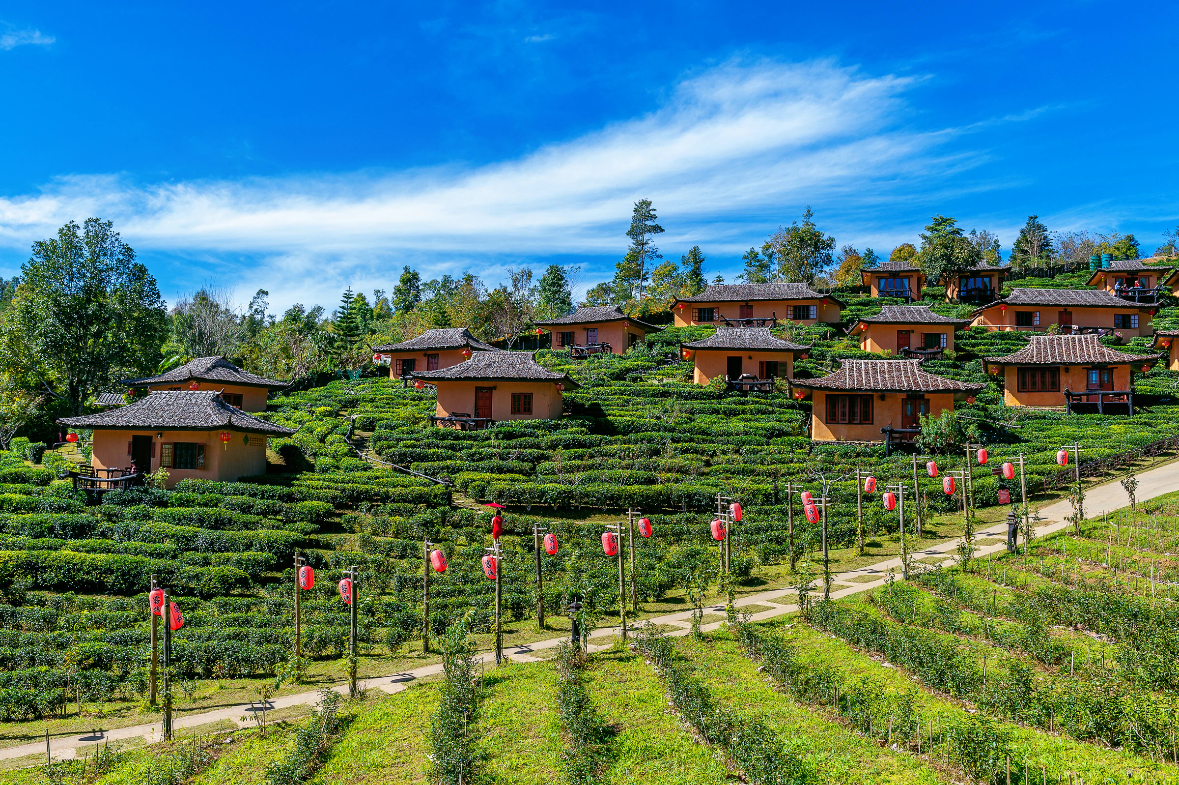
With more time a side trip to Pang Ung and the Yunnanese hill village of Ban Rak Thai, both close to Mae Hong Son town, if you have a spare half-day.
A quieter stretch
Khun Yuam
Getting there Mae Hong Son to Khun Yuam by motorbike or pillion, about 1 hour 30 minutes for 70 km
- Morning
- a shorter, gentler riding day after yesterday's stretch. The road opens out and traffic thins.
- Afternoon
- Khun Yuam's small WWII museum, covering the Japanese army's wartime retreat route through this valley.
- Evening
- an early stop in this small market town, useful as a rest day for tired arms and shoulders.
Eat sticky rice with grilled meat from the town's evening market stalls
Local tip fuel and phone signal both get patchier from here. Top up on both while you can.
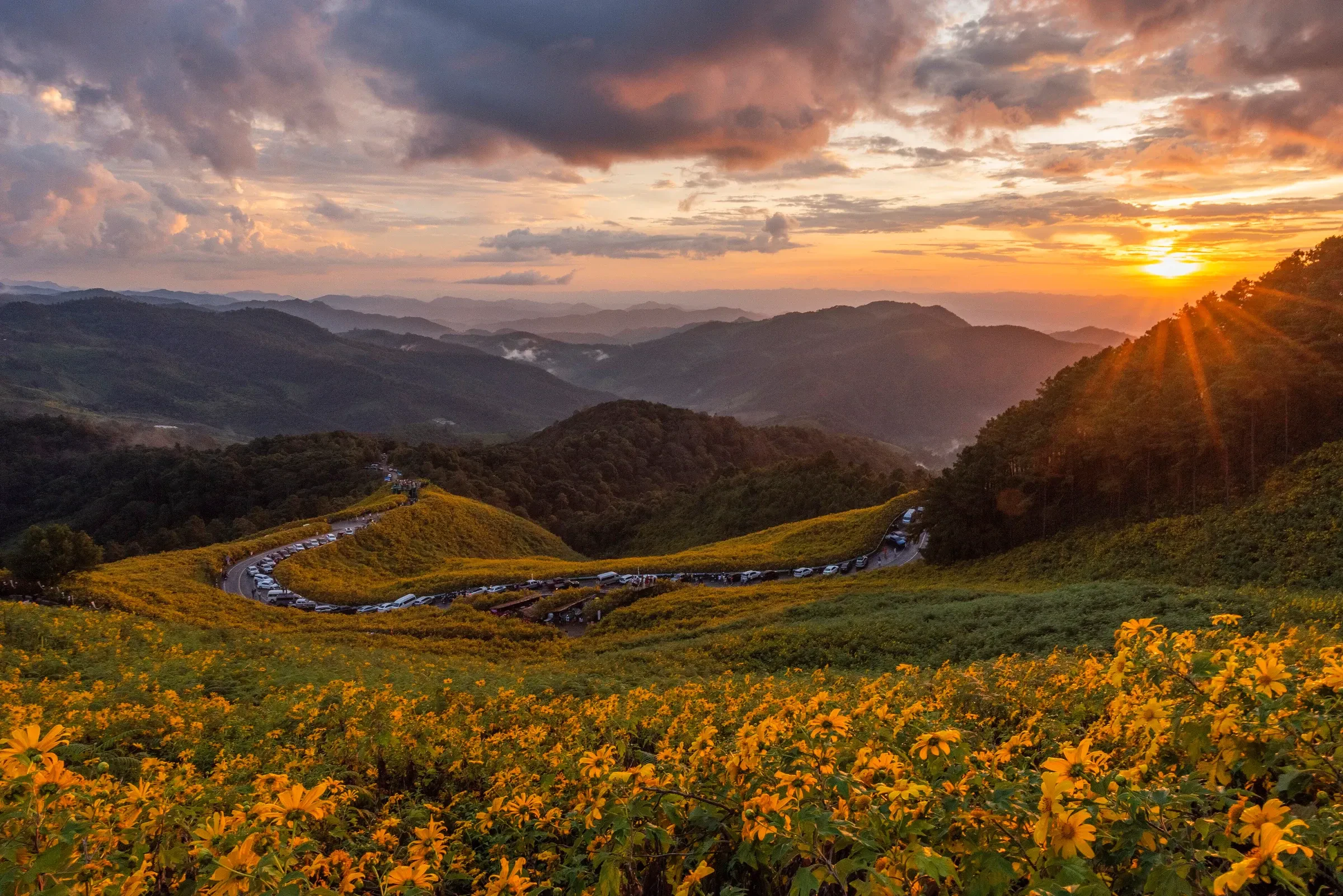
The loop's quiet side
Mae Sariang
Getting there Khun Yuam to Mae Sariang by motorbike or pillion, about 2 hours for 95 km
- Morning
- ride on through forested hills with fewer other vehicles than anywhere else on the loop.
- Afternoon
- Mae Sariang itself is a small river town close to the Myanmar border, worth a slow wander rather than a checklist of sights.
- Evening
- a riverside dinner and an early night before the loop's final long day.
Eat a border-influenced noodle soup, reflecting Mae Sariang's mix of Thai, Shan and Karen communities
Local tip this is the least-visited stretch of the loop, so double-check opening hours for anything you plan to see. Things run on their own schedule out here.
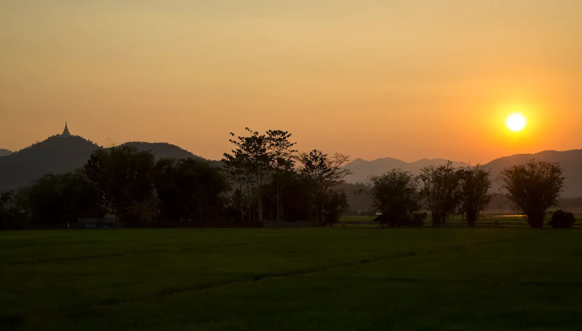
Thailand's highest point
Doi Inthanon
Getting there Mae Sariang toward Doi Inthanon by motorbike or pillion, about 3 to 4 hours covering part of the roughly 200 km back to Chiang Mai
- Morning
- climb steadily toward Doi Inthanon National Park. Temperatures drop noticeably near the summit, even in the warmer months.
- Afternoon
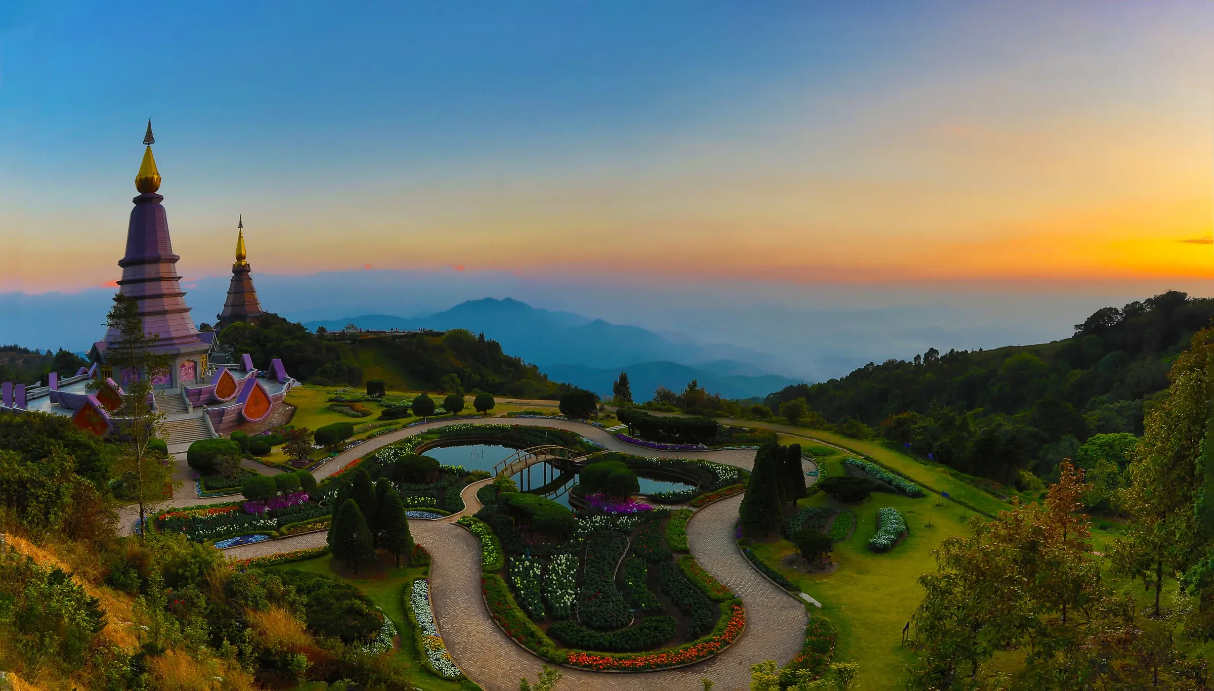
- the twin royal pagodas at the summit and, road conditions allowing, a stop at Wachirathan waterfall on the way down.
- Evening
- descend toward Chiang Mai's outskirts and find a base for the night, or press on if daylight allows.
Eat a warming bowl of noodle soup from a stall near the park entrance, welcome after the cold summit air
Local tip Doi Inthanon National Park charges a separate entry fee to the rest of the loop. Check current opening hours before you commit to summit timing.
Back to the start
Chiang Mai
Getting there the final stretch into Chiang Mai by motorbike or pillion, about 1 hour 30 minutes
- Morning
- an easy final ride back into the city, with time to return the bike and shower off the road dust.
- Afternoon
- a last look around the Old City or Nimman if your flight or onward bus isn't until evening.
- Evening
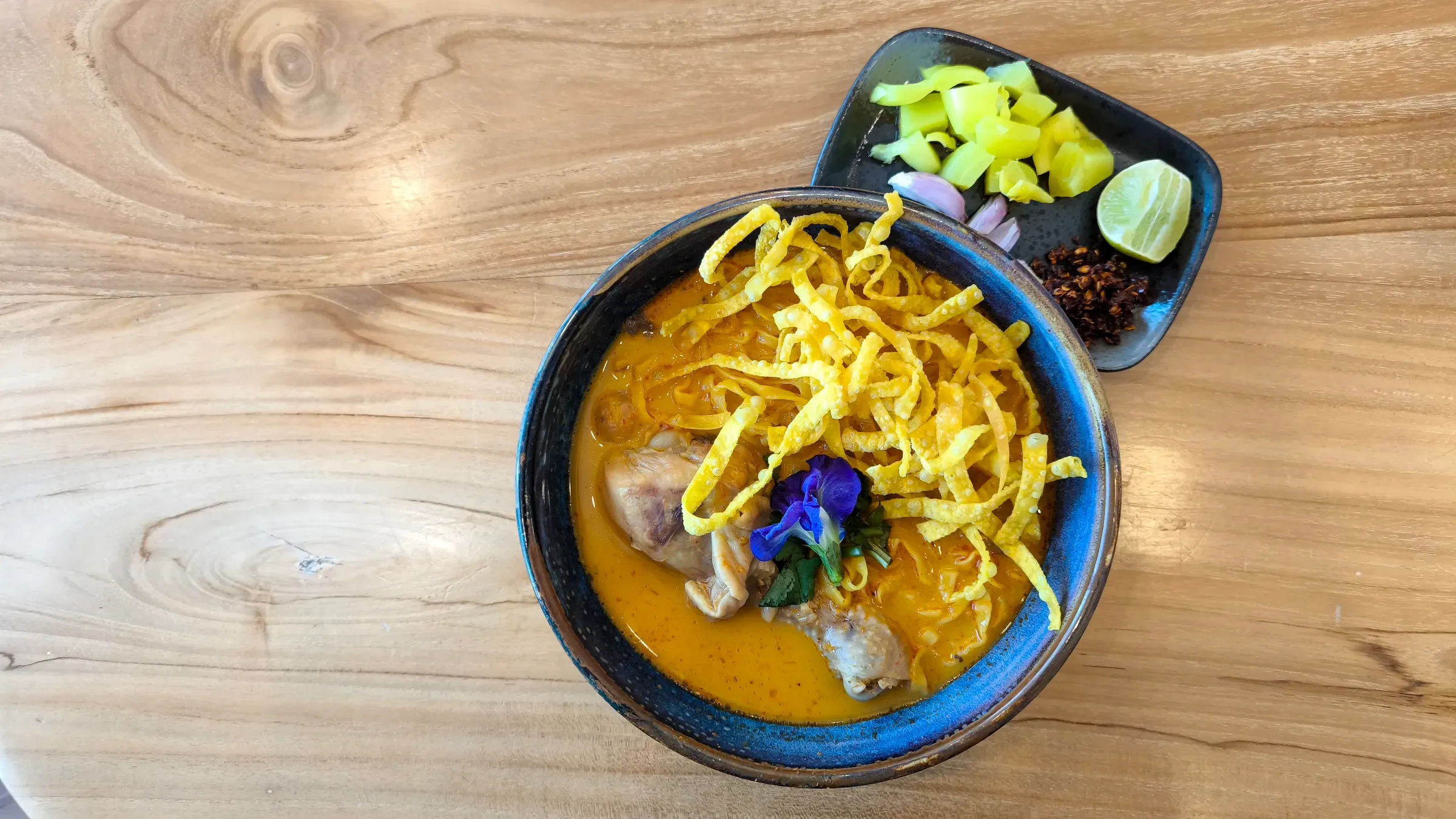
- a final bowl of khao soi, this time to compare against the one from day 1.
Eat khao soi once more, ideally somewhere different from day 1 for the comparison
Local tip return the bike with a full tank and photograph any existing scratches before handing back the keys.
The 10 days version
Stretching the loop to 10 days gives tired arms a proper rest day and room for the side trips above without rushing.
| Day | Where | What | Eat |
|---|---|---|---|
| 1 | Chiang Mai | Rent and gear check | Khao soi in the Old City |
| 2 to 3 | Pai | Ride in, Pai Canyon, hot springs, an extra day for Mo Paeng and the Land Split | Strawberry shakes, Walking Street stalls |
| 4 | Mae Hong Son | Ride in, Tham Lod cave | Shan-style noodles |
| 5 | Mae Hong Son | Rest day: Pang Ung and Ban Rak Thai | Yunnanese dishes in Ban Rak Thai |
| 6 | Khun Yuam | Ride on, WWII museum | Grilled meat and sticky rice |
| 7 to 8 | Mae Sariang | Ride on, a slow day by the river | Border-style noodle soup |
| 9 | Doi Inthanon | Ride toward the summit, waterfalls | Noodle soup near the park entrance |
| 10 | Chiang Mai | Final ride in, return the bike | Khao soi to close the loop |
What it costs
| Item | Cost per day |
|---|---|
| Scooter or motorbike rental | 150 to 350 baht |
| Fuel | about 150 to 250 baht over a long riding day |
| Guesthouse room | 300 to 800 baht |
| Meals (3) | 200 to 400 baht |
| Entry fees (Tham Lod, Doi Inthanon) | 300 to 500 baht on those days |
A realistic daily budget across the loop is about 1,200 to 2,500 baht (roughly £27 to £56), a little higher on the days you pay park or cave entry fees.
Getting there, away and around
The loop starts and ends in Chiang Mai, reachable by flight, overnight train or bus from Bangkok. From there, the route itself runs Route 1095 to Pai and Mae Hong Son, then Route 108 through Mae Sariang and up to Doi Inthanon before rejoining Route 108 back into Chiang Mai. No railway or scheduled public transport follows the full loop, so it's riding, a hired car, or a support van the whole way. Minivans do run the Chiang Mai to Pai leg and on to Mae Hong Son if you're not riding yourself, but they don't cover the Mae Sariang to Doi Inthanon stretch as a fixed route, which makes a private car or a trip with its own support vehicle the more practical choice for that half.
Licence and helmet rules. To ride legally in Thailand you need a motorcycle licence from your home country plus an International Driving Permit that carries the motorcycle category. Thailand recognises IDPs issued under the 1949 Geneva Convention, and a car-only licence or IDP doesn't cover even a small scooter. Helmets are compulsory by law for rider and pillion. Police run checkpoints in Chiang Mai and Pai, with fines of up to about 2,000 baht for riding without the right paperwork, and most travel insurance policies exclude claims while you ride without a valid licence, so check your policy wording before you ride. If you don't hold the right licence and IDP, book a van or car for the loop, or ride pillion behind a licensed local rider instead.
Best time and festivals on this route
November to January is the clearest, coolest window for the loop, with the best mountain views and the least haze. Avoid February to April, northern Thailand's burning season, when agricultural and forest fires send smoke and PM2.5 across Chiang Mai, Pai and Mae Hong Son alike. Viewpoints lose their view and riding in it is unpleasant, so it's a genuine health consideration as well as an aesthetic one. Smoke is usually worst in March. The rainy season, roughly June to October, has its own risk: landslides and flash floods closed stretches of Highway 108 near Khun Yuam in June 2026, and other roads in the province in May and September 2026. Ask your guesthouse about road conditions each morning, and don't ride through floodwater. If your dates land in Chiang Mai close to Yi Peng, it's worth planning the start or end of the loop around it.
What to eat on this route
Khao soi, the northern coconut-curry noodle soup, follows you the whole way, though its character shifts slightly town to town. Mae Hong Son and Mae Sariang add Shan-influenced noodle dishes, a legacy of the Shan communities near the Myanmar border, while Ban Rak Thai near Mae Hong Son serves Yunnanese food from its Chinese hill-village history. Our Thailand food guide covers the dishes worth planning a stop around.
Keep planning
Start with the Thailand itinerary hub for every route and length. Our northern Thailand itinerary covers the shorter Chiang Mai, Pai and Chiang Rai triangle if the full loop is more riding than you want, and the Pai guide and Chiang Mai guide cover those two towns in depth. For food along the way, see our Thailand food guide, and check Thailand entry requirements before you book flights.